
Search Blue Springs Streets by Address
Use an address as a trail, not a shortcut to a household list. The Jackson County Collector search can connect a Blue Springs street address to a property account, while the county GIS card adds the parcel number and legal description. The Recorder then supplies the recorded instrument trail. In Blue Springs, those sources document parcels and transactions, not a promise that an owner lives there today. A dated voter record or historical directory can add context, but protected or absent records must remain protected.
- Enter the full street name in the Jackson County Collector property search and select Property Address, not Mailing Address, when locating a parcel.
- Narrow a broad result with the house number, city, ZIP, PIN, or a more precise owner string. The Collector caps broad searches at 200 results.
- Save the PIN and open the parcel in the Jackson County GIS Parcel Viewer to compare the situs, legal description, districts, and map context.
- Search the legal description, subdivision, lot, block, grantor, or grantee in Aumentum Official Public Records. Read the instrument rather than relying on the index line alone.
- Use a voter lookup only to confirm registration or district information when the official system permits it. Missouri’s exact-data portal requires the registered name, date of birth, final four Social Security digits, and county.
- For a past street snapshot, inspect the Midwest Genealogy Center Phonefiche listings. Their street sections and alphabetical pages can support a dated household search.
Keep a small research log with the address form, search date, result count, PIN, and instrument citation. That makes it possible to repeat a Blue Springs street search without treating a tax or map result as proof of current residence.
Blue Springs Street Records by Address
The Collector’s property screen is the practical starting point for a Blue Springs street directory search because it separates four types of terms. A situs is the physical location of a parcel. A mailing address is where tax correspondence goes and may be outside Blue Springs. Primary Owner is an index field, not an occupancy finding. The PIN is the property identifier that helps carry the search into mapping and recorded documents.
| Collector field | Input type | Use for a street search | Important limit |
|---|---|---|---|
| Property Address | Text | Find a situs parcel by its full street name and number | Use exact street spelling and refine broad results |
| Primary Owner | Text | Find property accounts indexed to an owner | Does not establish who occupies the parcel |
| Mailing Address | Text | Locate a tax correspondence address | May differ from the Blue Springs situs |
| PIN | Number pattern | Reopen a known real-property account | Real-property PINs use a 24-digit dashed pattern |
The search accepts an asterisk wildcard. Its related assessment home was observed with a maintenance notice, so the Collector route and a targeted office inquiry are useful fallbacks when a screen is unavailable. In Blue Springs, assessed values are for assessment purposes and should not be used to make claims about a person’s finances or presence at an address.
View the Jackson County assessment search entry before starting when the broader assessment system is available.
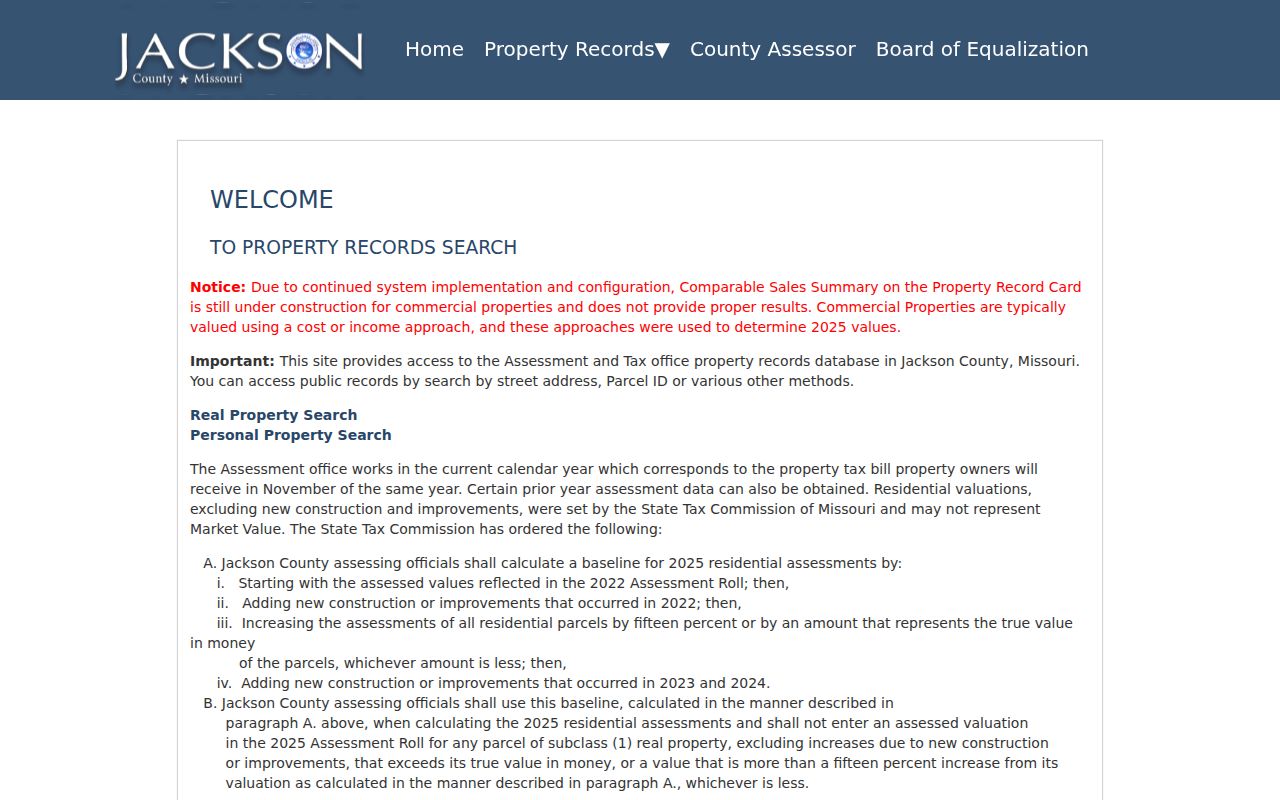
The entry screen is a useful reminder that a public property search can be maintained or temporarily unavailable. Record the search mode so another researcher can reproduce the Blue Springs address search later.
Map Blue Springs Street Parcels
The GIS Parcel Viewer adds the spatial record that a tax result lacks. Its parcel card can show the parcel number, situs address, owner and mailing fields, other owners, legal description, lot size, building information, land-use code, tax-code area, assessed values, public districts, and map or PDF controls. This makes it a strong way to separate one Blue Springs street address from a similarly named road or a nearby subdivision.
Open the Jackson County GIS Parcel Viewer after accepting its data disclaimer, then compare the parcel card to the Collector result.
The viewer can preserve Blue Springs parcel context through its print or PDF tools, but its dimensions are not survey-grade. Easements belong in Recorder records, and a plot plan requires a surveyor or engineer.
- Parcel
- A mapped unit of land used for assessment and tax administration. Its PIN connects the property search to GIS records.
- Situs address
- The physical location of the parcel. It is different from the address chosen for tax mail.
- Plat
- A recorded map that identifies a subdivision, lot, block, or tract arrangement. It can resolve an older street label.
- Legal description
- The formal land description in a deed or plat. It is often more stable than a changing street address.
Trace Blue Springs Deeds by Street
A street string often disappears in older records, while a legal description continues. Once the Collector or GIS record supplies a lot, block, subdivision, or tract, search that information in Aumentum alongside the current grantor or grantee. The Jackson County Recorder’s online real-estate material is strongest from about 1961 forward, with selected historical material reaching the county’s 1826 beginning. Gaps may require Recorder microfilm rather than a broader online query.
Start from the Aumentum public-records menu, which separates Official Public Records, Marriage Records, and UCC searches.
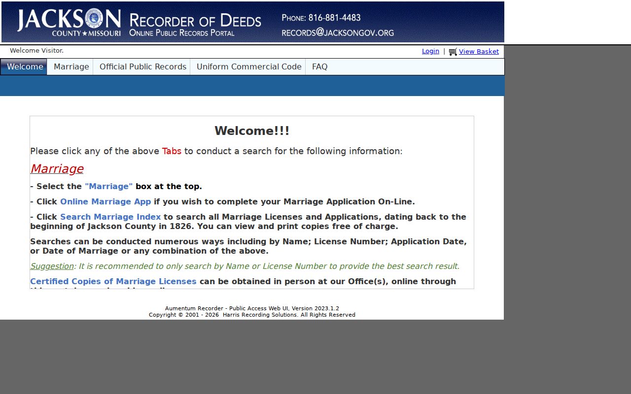
The menu is the entry point for a deed chain, not an occupancy tool. Where an image is available, the public record can be viewed or printed without charge; certified copies use a separate paid request process.
For each instrument, preserve the grantor, grantee, document type, recording date, legal description, and book-page or instrument number. A grantor conveys or releases an interest, while a grantee receives or benefits from one. Follow the cited prior instrument backward and use plats or microfilm when the Blue Springs chain stops online. A recording date marks a transaction, not a move-in date.
- Grantor and grantee names, including indexed spelling variants
- Document type, such as deed, release, lien, or affidavit
- Recording date and the separate execution date when shown
- Subdivision, lot, block, tract, or other legal-description text
- Instrument or book-page reference and image status
Read Blue Springs Criss-Cross Listings
Historical street listings offer a dated counterpart to current parcel records. The Midwest Genealogy Center has verified Blue Springs Phonefiche holdings for 1987; 1989 through 1993; 1995 through 1997; and 2001, under call number 40128. Some labels read “Blue Springs-Grain Valley” or “Blue Springs area,” so a listing can cover a wider postal area than the city boundary. The gaps matter just as much as the volumes that survive.
A criss-cross directory is a reverse street listing. Find the address in the Blue Springs street section, write down the nearby names or listings, then confirm each surname in the alphabetical section when it exists. Check 2001, then 1997 through 1995, 1993 through 1990, 1989, and 1987. Pair any result with a deed, obituary, voter record, city file, or parcel source before deciding it refers to the same person.
- Criss-cross directory
- A directory arranged by street and number rather than only by surname. It is a snapshot for its printed year.
- Area edition
- A volume that may combine Blue Springs with a nearby postal community. It should not be treated as a city-limit list.
- Alphabetical section
- The surname portion of a directory, used to check a name found through the street section.
The historical volumes themselves are described on the Blue Springs city directory page; use the street section here only to test a dated address question.
Check Blue Springs Address Variants
Preserve every form shown in a record: N, S, E, or W; Street or St; an apartment or unit; an old or new number; the ZIP; and the postal city. A Blue Springs street may cross city, ZIP, or service-district lines. In particular, a 64029 or 64064 postal label can appear beside Blue Springs municipal material. The legal description is the safest bridge when the street form changes or a road on a plat predates the modern grid.
For an address correction or a place that does not yet appear, use the GIS property-address correction route and contact the city planning or GIS staff. No official Blue Springs street-renumbering crosswalk was located in the research. A targeted City Clerk or Planning request should include the legal description, project number, and date range rather than assuming an old number was simply renumbered.
Note: A property owner field and a tax mailing address can each be useful, but neither one alone identifies the present household at a Blue Springs street address.
Blue Springs Street Registration Routes
Election records add district context, but they use different access routes from a parcel search. The Jackson County Election Board links voter information for registration, districts, ballots, and polling places where available. Blue Springs residents outside the Kansas City jurisdiction should confirm the correct election authority before using that route. Missouri’s public-list statute describes Blue Springs address and district fields, while it also protects qualifying addresses and restricts commercial use of the master list.
For a routine individual registration check, the statewide portal requires the registered first and last name, date of birth, final four Social Security digits, and county. A no-match can reflect an abbreviated name, county mismatch, protected record, or a portal limitation. For maps, historic voter material, or an itemized records request, the Election Board’s written request process is the documented alternative. Treat an absent address as a possible privacy safeguard, not an invitation to infer one from nearby parcels.
Blue Springs Street File Requests
Some useful Blue Springs address records are not a searchable county roll. City agendas can identify rights-of-way, annexations, public hearings, and project areas. For a retained building or development file, use the city’s Permit Application Center or make a focused Community Development request with the address, parcel, project type, and date range. The research did not locate a verified citywide online permit-index start date, so a direct request is more accurate than assuming a missing portal result means no file exists.
Older council material before 2015 is routed to the City Clerk through the Blue Springs public-record request process. Police reports use the Records Unit and their own incident-number route. Crash reports beginning July 1, 2019 have a separate online purchase path with qualifying-interest conditions. These channels preserve the record’s limits instead of turning a street name into a blanket request.
Blue Springs Street Project Records
Blue Springs agenda files add a public planning layer to an address search. The 2026 Agenda Center lists identifiers for items including the Colbern Annexation, a Ford Warehouse item at 3110 Eastbound 40 Highway, the 12th Street Extension, and projects near Adams Dairy Parkway and Napoleon Road. Use an agenda date, item number, project title, legal-description exhibit, and final ordinance or minutes as citations. Those details are more dependable than trying to infer municipal status from a street name alone.
Review the Blue Springs Agenda Center when a street falls near a right-of-way, annexation, or development notice. The agenda view supplies project leads, not a complete parcel history. The city’s annexation application also asks for owners, legal description, parcel number, survey or map, acreage, and notice to owners within 185 feet, which makes those fields useful for checking a boundary trail.
Blue Springs Street Directory Limits
No single street record supplies a complete list of everyone connected to an address. The Collector reflects property accounts, GIS reflects mapped assessment information, and Recorder instruments reflect legal filings. Voter information has protected fields and statutory controls. City police reports require the correct request route, and online crash reports from July 1, 2019 forward require an incident number and qualifying interest. Missing results can also reflect a portal limit, a microfilm gap, a protected address, or a different jurisdiction.
Lawful use. Blue Springs street and parcel records support personal, lawful research and civic questions. Do not use an address trail to stalk, harass, intimidate, or harm anyone.
When the question shifts from a whole street to verifying one person, use the official county and state records with exact identity details instead of broadening a neighbor or parcel search.