
Blue Springs Neighbors by Parcel
The public record can describe the immediate block in layers. A parcel map identifies adjoining lots and legal-description context. The Collector’s fields can connect each parcel to an owner, situs, mailing field, and PIN. Aumentum can then show recorded instruments and plats where material is digitized. None of those records alone proves who currently lives at a location. Treat ownership, occupancy, voting status, association participation, and historical presence as separate questions.
| Block source | What it contributes | Access and limit |
|---|---|---|
| Jackson County GIS Parcel Viewer | Adjacent parcel geometry, parcel ID, legal description, districts, and map or PDF context | Free map; dimensions are not survey-grade |
| Collector property search | Primary owner, situs, mailing address, and PIN for a parcel | Free search; owner is not necessarily occupant |
| Aumentum Recorder | Deed and plat continuity, grantor, grantee, and instrument references | Older or non-digitized material may need microfilm |
| Blue Springs Agenda Center | Rights-of-way, public notices, development, and annexation identifiers | Online agenda material or a focused Sunshine request |
| Jackson County Election Board | Registration, district, and precinct context where eligible | Exact lookup or request; protected addresses and statutory limits apply |
| City HOA courtesy database | Association name and public contact routing for a neighborhood | Independent associations and a dated city-linked database |
For Blue Springs neighbors, keep the parcel ID and legal description as the shared reference across those systems. A property tax card can point to a person or entity, but only a recorded instrument explains the legal relationship. The city’s association directory is a contact route for an association, not an individual-resident roster or proof that every parcel belongs to it.
Map Blue Springs Neighbors
Start with one complete address in the Jackson County GIS Parcel Viewer. The viewer’s parcel card can supply the address, parcel number, owner fields, legal description, lot information, land-use code, tax-code area, public districts, and print or PDF controls. Use the map to identify the adjoining parcels to the north, south, east, and west. Record their parcel identifiers before comparing any names.
- Locate the starting address and preserve its parcel number, situs, and legal description.
- Open each adjoining parcel on the map and note its parcel ID, lot or block description, and public district context.
- Check the Collector search by PIN or Property Address, keeping situs separate from the mailing field.
- Search Aumentum by grantor, grantee, subdivision, lot, block, or legal description, then read the instrument rather than relying only on an index.
- Use plats or Recorder microfilm when the online chain stops, and compare dates before merging any households.
The process is address to parcel ID to legal description to recorded instrument. It is not a shortcut to a complete list of people on a block. For a whole named street and its longer address trail, the Blue Springs street directory has the separate street-by-street workflow.
Blue Springs Neighbor Privacy
Property and mapping systems contain public fields, but they do not erase privacy protections. Missouri Safe at Home supplies a designated substitute address and mail forwarding for eligible participants. Its voter process uses a code so the local authority does not receive the confidential address. Protected voter addresses, witness-protection and certain public-safety addresses, sealed court records, and restricted vital records must remain protected.
Use the smallest amount of information needed to answer a block question. A parcel number, record date, source link, and legal description are usually more useful than a copied mailing address or personal contact field. Do not use public materials to identify a protected location, construct a profile from unrelated sources, or turn an old directory entry into a current claim.
Lawful use. Use Blue Springs block records for personal, lawful research, neighborhood context, and civic questions. Never use a result to stalk, harass, intimidate, expose a protected address, or harm anyone.
Blue Springs Neighbor Parcel Details
The GIS parcel card is useful because it puts several public layers beside the lot boundary. It can display parcel number, address, owner name and address, other owners, legal description, lot size, building information, land-use code, tax-code area, and market, assessed, or taxable values with displayed years. It can also identify school, library, fire, and water districts, along with listed improvement-district indicators. Record the field name and the displayed year before drawing any conclusion.
GIS dimensions are not survey-grade, and the viewer does not maintain easement records. Search easements through Recorder documents, and use a surveyor or engineer for a plot plan. The GIS tool includes a data disclaimer under RSMo 610.011, plus property-information, map, PDF, tax-payment, correction, and appeal links. A map is a research aid, not a boundary determination.
Note: A parcel’s mailing address can belong to a later correspondence contact and should never replace the situs when identifying the block.
Blue Springs Neighbor Association Routes
Blue Springs maintains a courtesy homeowner-association database for city notifications, development activity, community-improvement projects, and people seeking an association contact. Each association remains independent. The city links an update memorandum and a current database PDF, so use the live city source before relying on an officer name, phone number, or membership claim. The older January 2013 list is historical comparison material only.
| Community contact route | Best use | What it does not establish |
|---|---|---|
| Blue Springs HOA courtesy database | Find an association name or public contact route for notification and development questions | Current parcel membership, private resident details, or a complete roster |
| Blue Springs Historical Society | Seek local building, family, photograph, depot, hotel, and community-history context | A current community directory |
| Jackson County Historical Society collections | Locate regional deeds, plats, yearbooks, clippings, and streetscape context | Proof that a historical item describes current people on the block |
Association and archival sources add context after the official parcel trail is clear. An association’s public contact can help direct a question about a development or community project. It is not a substitute for a Recorder instrument, GIS parcel, or current city notice.
Blue Springs Neighbor Voter Context
Voter information can help distinguish election geography from parcel geography. Missouri’s Voter Outreach Portal asks for a registered first name, last name, date of birth, last four digits of Social Security number, and county. The form requires exact matching, so a no-match can reflect a name variant, county mismatch, protected record, or portal limit. Do not enter another person’s sensitive data outside the official process, and do not reproduce those fields in a research note.
RSMo §115.157 describes public voter-list fields including name, address components, city, ZIP, township or ward, precinct, and districts. RSMo §115.158 restricts commercial use of the master list. For a block-level question, the Election Board is the route for an eligible district, map, or list request. The result should be treated as election context with a source date, not as proof of household membership or a complete description of Blue Springs neighbors.
| Official parcel and election records | Commercial neighbor tools |
|---|---|
| Show a named custodian, source type, date, and defined field set | Can merge stale addresses, common names, and unrelated households |
| Allow a parcel, court, or request reference to be checked | Do not repair a missing official record or protected address |
| Carry statutory access and privacy limits | Have separate correction and removal procedures |
Blue Springs Annexation Radius
Annexation records can clarify why a project, parcel, or postal label appears inconsistent with the present city story. The Blue Springs annexation application asks for owners, legal description, survey or map, acreage, parcel number, section, township, range, proof of ownership, land use, structures, and contiguous holdings. It also describes notice to owners within 185 feet and newspaper publication. Those elements make the legal description more dependable than a casual street label.
Current agenda material includes 2026 items such as the Colbern Annexation, Ford Warehouse, the 12th Street Extension, and projects near Adams Dairy Parkway. Use a project identifier, hearing date, legal description or exhibit, and final ordinance or minutes when a change affects a nearby parcel. A live agenda entry is a public planning record, not proof of a completed project or a change in who lives nearby.
Blue Springs Neighbor ZIP Lines
A block can cross postal, municipal, and service-district lines. Blue Springs materials identify 64013, 64014, and 64015 as core ZIPs, but city-related records can also carry Grain Valley 64029 or Lee’s Summit 64064 labels. The city’s 2008 postal-designation request explains the mismatch without proving that every address in either ZIP lies within city limits. Use the parcel’s situs, GIS record, and annexation or plat material to test municipal status.
The GIS card can add school, library, fire, and water district context. USPS delivery geography and a ZIP result are useful mailing clues, but they are not an incorporated-boundary map. The county Collector form supports owner, Property Address, Mailing Address, and PIN modes rather than a verified ZIP-wide query. That keeps a postal filter from becoming a conclusion about a Blue Springs block.
Blue Springs Block History Sources
The Jackson County Historical Society featured collections bring together regional photographs, streetscapes, buildings, correspondence, newspaper material, deeds, plats, wills, yearbooks, and genealogical records. They can add historical context to a parcel or subdivision after the official legal description is known. A historical item should be cited by collection and date, not treated as a current-person record.
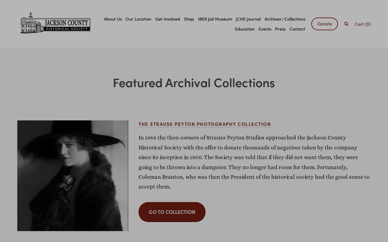
Featured collections can point a Blue Springs block search toward deeds, plats, or streetscape material that explains an older parcel reference.
The Historical Society’s research-request route says visits require an appointment, recommends contacting the archivist, and asks for at least a week for research requests. In-person research is described as no charge, while copies, scans, and staff research can have separate conditions. Give the archivist a street, date range, legal description, or collection target rather than asking for a profile of nearby people.
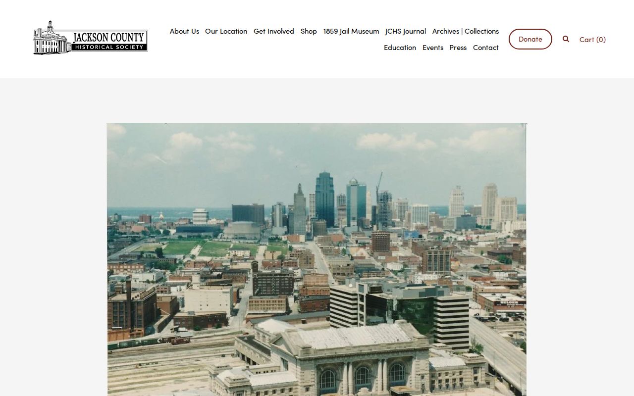
An appointment-based archive request is most useful when a parcel map or Recorder reference has already narrowed the historical question.