
Blue Springs Previous Residents by Era
For a Blue Springs address, build the record trail from the most stable property description backward. The county recorder supplies legal transfers, MGC holds dated directory snapshots, and historical sources can supply household or relationship clues. Each source answers a different question. The table identifies what was verified in local research, including the parts that require a visit, a request, or microfilm rather than an online search.
| Source | Years it covers | Where held | What it shows |
|---|---|---|---|
| Recorder real-estate index and images | About 1961-present online; selected material back to 1826 | Aumentum and Recorder; microfilm for gaps | Grantor, grantee, instrument, legal description, recording date |
| Recorder plats | Stated back to 1826 | Aumentum and Recorder | Subdivision, lot, block, and tract structure |
| MGC Phonefiche directories | 1987; 1989-93; 1995-97; 2001 | MGC, call no. 40128 | Dated name and address snapshots; some area editions |
| Blue Springs Examiner | 1991-2003 listed | MGC microform | Local notices, names, addresses, and community events |
| Federal census | 1790-1950 public under the 72-year rule | NARA and MGC resources | Household snapshot, county or township, ages, relationships |
| City permit and planning files | Exact online index start not located | Community Development or City Clerk request | Address or project file, if retained |
Begin with a current parcel when the address is known. For a date in the late twentieth century, check the Phonefiche years nearest that date. For an earlier legal trail, use the deed index and its microfilm fallback. A census or newspaper item can support presence, but neither replaces the recorded land instrument.
Blue Springs Previous Residents and PINs
The Jackson County Collector tax search is the starting handoff from a street address to a parcel identifier. It exposes PIN, Primary Owner, Property Address, and Mailing Address modes. Use Property Address for the place itself. A mailing address can belong to an owner, agent, trust, business, or later correspondence point elsewhere, so it should not be read as the property's physical location or a current household.
Copy the property address as shown, PIN, primary-owner field, tax year, result count, and legal description. Real-property PINs use a 24-character dashed format, while personal-property account numbers are generally nine digits and can end in a letter. The portal accepts an asterisk wildcard and caps broad results at 200, which makes a full street name and a narrower search more reliable than a loose owner-name search.
Open the matching record in the Jackson County GIS Parcel Viewer for the legal description, district context, map, and parcel card. GIS dimensions are not survey-grade, and the mapping record does not maintain easements. Preserve the legal description because an old street label can change while subdivision, lot, block, or tract language still points to the same land.
Note: An owner field or tax correspondence address can establish a record connection, but it does not establish that a person occupied the Blue Springs address.
Trace Blue Springs Previous Residents Through Deeds
The Aumentum Official Public Records portal is the central online route for the Jackson County deed chain. Its Official Public Records search supports grantor, grantee, general-name, real-estate, subdivision, and related index approaches, with date and document-type narrowing in the workflow. Online real-estate images are strongest from about 1961 forward. Selected historical material reaches back to the county's 1826 beginning, but earlier gaps may lead to microfilm at the Recorder office.
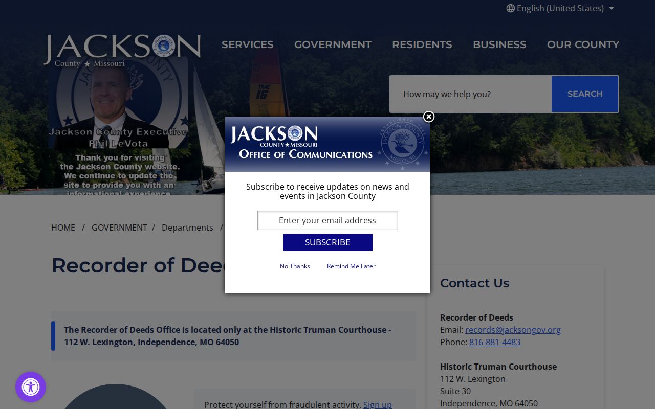
The Jackson County Recorder of Deeds service page shows the office that maintains the recorded-instrument route for this Blue Springs property history.
Use the Jackson County Recorder of Deeds service information when an image, a certified copy, or microfilm follow-up is needed.
Online documents can generally be viewed and printed at no charge under the portal's conditions. A certified copy is a separate paid process through the basket and PayIt workflow, mail, or an in-person request. The index warns that accuracy is not guaranteed, so read the instrument rather than relying only on the result line.
- Search the current situs in Collector records and copy the PIN and legal description.
- Find the latest deed or instrument in Aumentum with the owner name, legal description, subdivision, lot, block, or tract terms.
- Record the grantor, grantee, document type, recording date, legal description, instrument or book-page number, and prior reference.
- Search the prior parties and legal description backward, including exact spelling variants and entity or trust names.
- Use plats to resolve lot or block changes, then ask the Recorder about microfilm when the online image trail ends.
- Pair a transfer date with a directory, obituary, voter, city, or newspaper date before describing a person as part of a household.
- Grantor
- The person or entity conveying or releasing an interest in a recorded document.
- Grantee
- The person or entity receiving or benefiting from the recorded interest.
- Chain of title
- The connected sequence of recorded ownership instruments for the same legally described property.
- Legal description
- The subdivision, lot, block, tract, or metes-and-bounds description that carries a parcel across street-label changes.
Blue Springs Previous Residents and Plats
When a current street string fails in the deed index, search the property through its subdivision, lot, block, tract, or legal description. Aumentum's real-estate search includes subdivision and related criteria, and the Recorder reports that plats reach back to 1826. A plat can explain why the address now used by a Blue Springs parcel does not appear in an older entry. It is a bridge between a modern situs address and the land description used by a prior instrument.
Do not treat a plat as proof that a household lived there. It supports continuity of land, not occupancy. If the online record stops, capture the last instrument identifier and ask the Recorder about the corresponding microfilm. The Recorder's Historic Truman Courthouse office is at 112 W Lexington, Suite 30, Independence, and the service page lists weekday hours of 8 a.m. to 5 p.m, 816-881-4483, and records@jacksongov.org.
City annexation files can add a dated municipal layer. The Blue Springs annexation application asks for a parcel number, legal description, survey or map, acreage, section, township, range, proof of ownership, and contiguous holdings. It also describes notices to owners within 185 feet. Those project files are useful when an address or postal label seems inconsistent with the parcel history.
Blue Springs Previous Residents in Phonefiche
Recorded deeds identify legal transactions. Phonefiche can add a dated address listing for a household. MGC call number 40128 includes Blue Springs for 1987 and 1989, Blue Springs-Grain Valley for 1990 through 1993, and Blue Springs area for 1995 through 1997 and 2001. The unlisted years are material, especially 1988, 1994, 1998-2000, and 2002 forward. The holdings do not identify a publisher in the reviewed source, and an online image of an individual Blue Springs page was not located.
Start at 2001 when the target date is near the last held volume, then work backward through 1997-1995, 1993-1990, 1989, and 1987. Use the street section for the number where a reverse listing exists, then confirm the surname in alphabetical pages. Record the page, year, geographic label, name spelling, address, telephone number, and printed notation. A Blue Springs-Grain Valley or Blue Springs area label needs parcel geography before it is treated as a city-limit result.
The Midwest Genealogy Center Digital Gallery presents the connected local collections, oral histories, finding aids, and indexes that can support the same address trail.
Browse MGC's Digital Gallery for collection-level leads before requesting a directory or related historical item.
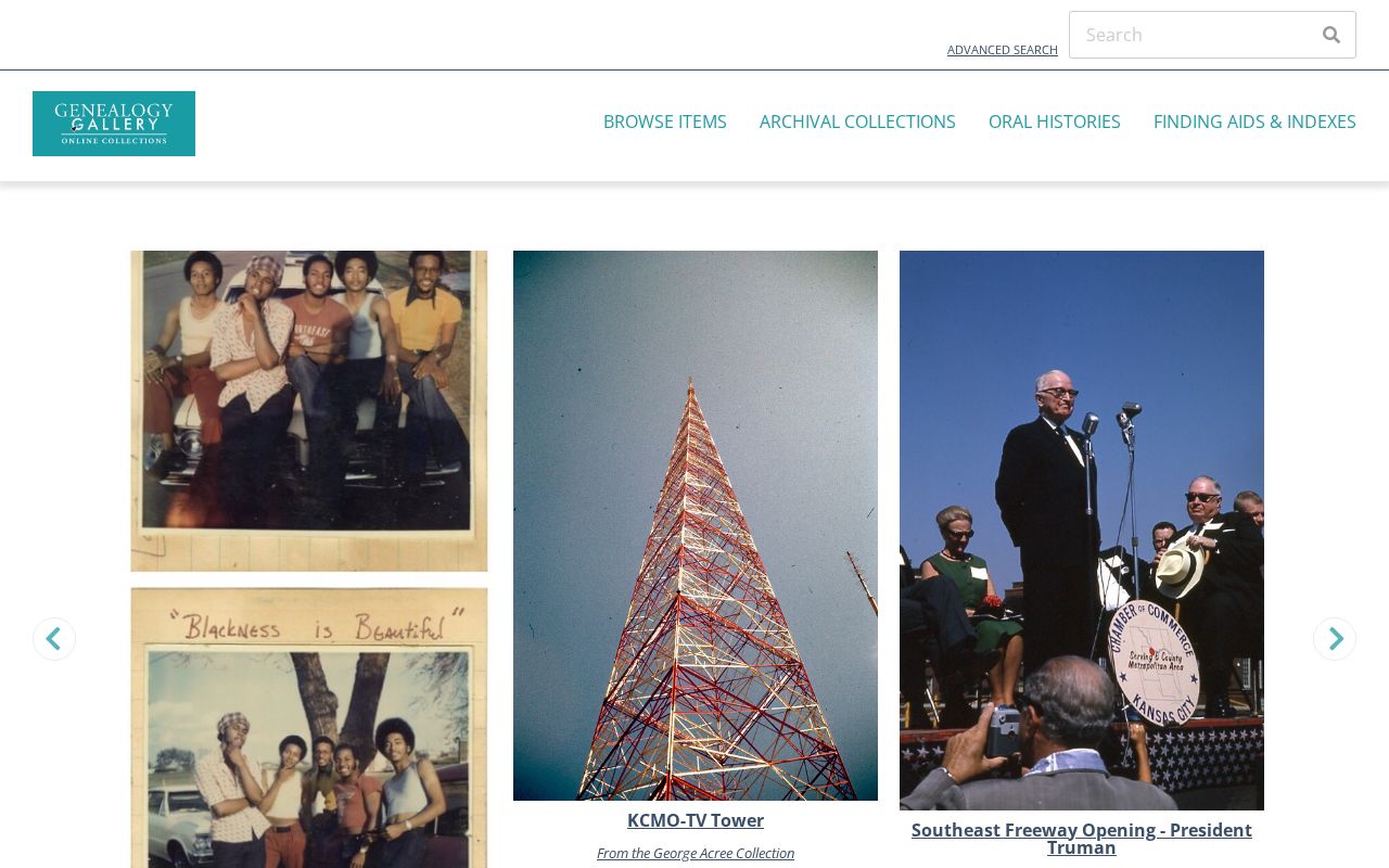
The image reflects a discovery tool, not a complete address index. A gallery result should be logged with its collection or item identifier and followed to the source document, microform, or staff request.
Blue Springs Previous Residents Household Checks
Ownership and occupancy are different questions. Pair each known directory year with the closest available federal census to see whether an address trail fits a household pattern. The National Archives census research page provides the federal census route, and public schedules run through 1950. Census material is a snapshot by county or township, not a current directory, so an address match still needs the date, page, and household details evaluated together.
Use the address as a process flow: current situs and PIN, then legal description, deed chain, directory page, census snapshot, and a dated newspaper or city item. The collection holdings and how to work with the microform are described on the Blue Springs city directory page. Keep each result in its own time frame rather than merging an owner, a listing, and a census household into one unsupported conclusion.
- Choose a directory year closest to the event or address change being tested.
- Capture the entire entry and page heading, including the geographic label of the volume.
- Check the nearest public census period for household, township, relationship, and age context.
- Use a deed, obituary, or municipal item to explain a move, transfer, or changed land description.
- Mark unresolved gaps as unknown instead of turning a missing record into a conclusion.
Blue Springs Examiner Relationship Dates
Newspaper research can help establish a relationship date or a local event, but the MGC sources are not a complete Blue Springs obituary database. Quick Look indexes resource types such as obituaries, marriages, divorces, court records, wills, memorials, and articles. Search surname variants, a likely given name, a possible date, and Blue Springs only when a title or note supports that place. Save the resource number, then request the underlying item or view it at MGC.
The MGC sample says the Independence Examiner began as a weekly in 1898, changed to a daily Independence Examiner in 1905, and retained a weekly Jackson Examiner edition. The obituary index is about 1900-1959 and incomplete, with microfilm from 1905. MGC separately lists Blue Springs Examiner microform from January 3, 1991 through July 31, 2003. Search title, edition, date, place mentioned, and page because a notice can use Independence, Blue Springs, Grain Valley, or Jackson County labels.
Note: An obituary or clipping is a historical lead that needs its source citation and should not be converted into a current-person claim.
Blue Springs Previous Residents Limits
A deed date is a marker for a recorded transaction, not a move-in date. A current parcel record does not prove a current occupant, a directory run has gaps, and an area edition may blend nearby postal communities. No verified Blue Springs Sanborn edition, exact city permit-retention start date, or digitized Blue Springs permit index was located in the reviewed official material. Those gaps call for a targeted request, not a guessed date or unsupported address history.
For older City Council material, the Blue Springs public-record request channel routes pre-2015 council records to the City Clerk. Written, mailed, emailed, online, and in-person requests are described. Ask for the record category, address or legal description, project number if known, and a date range. The city says most records are produced within three business days or a written delay or denial explanation is sent within that period; staff time and copy costs can apply.
Lawful use. Blue Springs previous-resident research is suited to house history, family research, estate questions, and personal curiosity. Do not use records or address information to stalk, harass, or harm anyone.