
Find Blue Springs Resident Records
Blue Springs is part of Jackson County, but it is not the county seat. That means a useful residents directory search often crosses city, county, and state custodians. City records can document meetings, projects, reports, or address actions. The county property and deed systems connect land to a legal description. State and court systems handle separate subjects. Begin with the narrowest official record that fits the question, then use a second source to test a name or address before drawing a conclusion.
- Write the full name, spelling variants, approximate year, known street address, and whether the question concerns a person, parcel, court matter, or historical household.
- For an address, use the county property record to capture the situs, parcel identifier, and legal description.
- For a historical name, compare dated directories, newspaper material, or archives instead of treating a current property field as a past household list.
- For a public city action, ask for a record category and date range, not every record that may mention a person.
- For a court result, match the division, filing date, and role before treating a same-name result as relevant.
- Compare two independent clues, such as a deed and a directory page, before connecting a person to a Blue Springs address.
- Save the official source, search mode, date, and record identifier so a later check can repeat the work.
A property owner, a grantor, a voter, a litigant, and a person in a historical directory are different roles. The Blue Springs residents directory is most useful when those labels remain separate. A no-result can also reflect an incomplete index, a protected address, a different jurisdiction, or a record that requires a request.
Blue Springs Resident Records Offices
The City Clerk, Jackson County offices, the 16th Judicial Circuit, and state agencies each keep different layers of Blue Springs records. The City Clerk manages council history, resolutions, ordinances, and older council material. The Recorder keeps recorded instruments and marriage certificates. The Collector and GIS systems handle property and parcel context. Court files belong with the court system, not the Recorder or City Clerk. Routing a request to the right custodian is usually more useful than an unfocused name search.
Blue Springs City Clerk
City Council minutes, resolutions, ordinances, legislative history, and pre-2015 council records. Requests can be written, online, mailed, emailed, or delivered to City Hall.
Jackson County Recorder
Deeds, deeds of trust, releases, liens, plats, marriage records, and UCC material. The online land inventory is strongest from about 1961 forward.
Collector and GIS
Current property account, owner field, situs, mailing address, PIN, legal description, parcel map, values, districts, and map tools.
16th Judicial Circuit
Civil, criminal, family, probate, and municipal matters through Missouri Case.net and division-specific court routes.
Modern city council records are available online, while older City Council records before 2015 are routed to the City Clerk. The city describes a response within three business days for most public-record requests, or a written explanation of delay or denial within that time. A request may involve staff or reproduction costs. Give the office a date range, street, project, record series, or ordinance reference whenever possible.
Blue Springs public-record request guidance shows the City Clerk route for current and older municipal records.
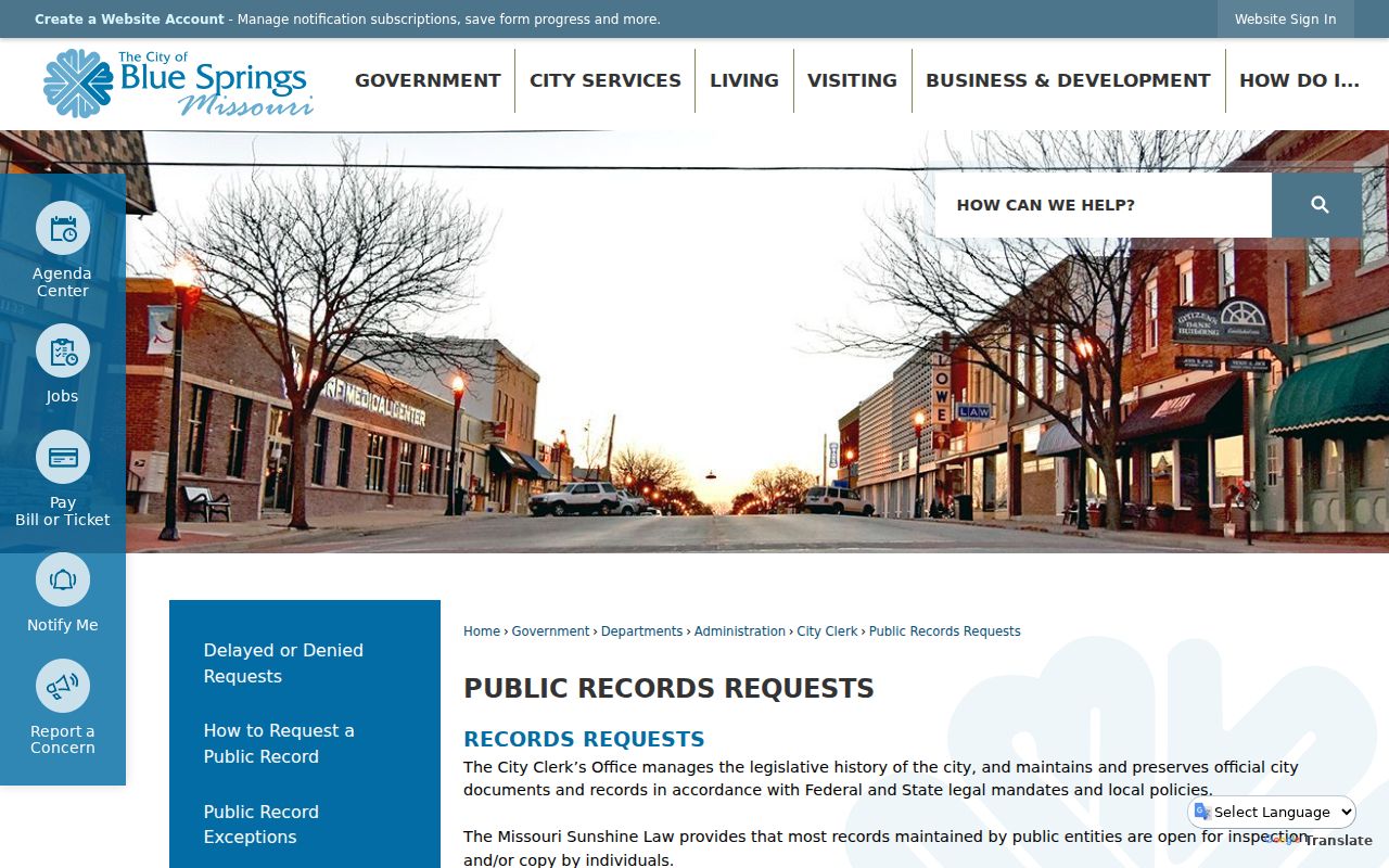
The city request channel is a fallback when a record has no public search form or when an older council item needs staff retrieval.
Note: A request that names the record series, date range, and street or project gives the custodian a clear starting point.
Blue Springs Parcel Records by Address
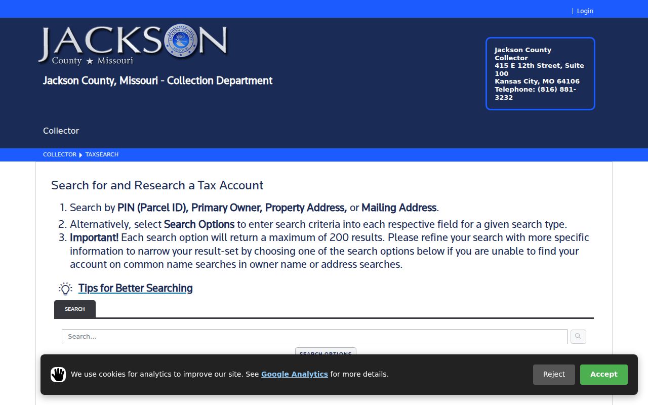
The Jackson County Collector tax search is the practical address-to-parcel starting point. It provides PIN, Primary Owner, Property Address, and Mailing Address modes. Use Property Address when the question is where a parcel sits. A mailing address may be a correspondence point for an owner, trust, agent, or business, and it should not be read as the parcel's location or a current household. Broad results are capped at 200, so a complete street name and a narrower query are better than an overly broad search.
Jackson County's public tax search displays the address, owner, PIN, and mailing-address routes that form the first parcel check.
After recording the PIN, open the corresponding record in the GIS viewer and retain the legal description with the street address. The description is often the stable bridge to an older deed or plat.
| Record field | What it means | Use with care |
|---|---|---|
| PIN | Parcel identifier used across property systems | Real-property PINs use a 24-character dashed pattern |
| Property address | Situs or physical parcel location | Check directional, street type, unit, and postal label |
| Primary owner | Ownership or tax-account field | Does not establish present occupancy |
| Mailing address | Tax correspondence address | Can be outside Blue Springs or outside Jackson County |
| Legal description | Lot, block, subdivision, tract, or metes-and-bounds language | Use it to search deeds and resolve old address labels |
- Parcel
- A defined piece of land recorded in the county property system.
- Situs address
- The physical address assigned to a parcel, distinct from a tax mailing address.
- Legal description
- The land description used in deeds and plats, often more durable than a street address.
- Grantor and grantee
- The parties conveying and receiving an interest in a recorded instrument.
The Jackson County GIS Parcel Viewer adds parcel geometry, owner and address fields, legal description, districts, map and PDF tools. It is a mapping and assessment aid, not a survey. Its dimensions are not survey-grade, and easements must be researched through recorded documents rather than the map card.
Blue Springs Current Resident Directories
No single public roster lists everyone who lives in Blue Springs. Current sources instead document specific roles. The county property system can identify a parcel connection. The city staff directory routes a request to an office or public employee but is not a resident list. The voter tools handle registration and district information with exact identity fields. City agendas and council records can identify a project, street, or public action. Use the source that matches the relationship you are trying to verify.
| Source | Who or what it can show | Keeper | Access |
|---|---|---|---|
| Collector property search | Owner field, situs, mailing address, PIN, tax context | Jackson County Collector | Public search with PIN, owner, address, and mailing modes |
| City staff directory | Public office and staff routing | City of Blue Springs | Category, first-name, and last-name search; not a resident roster |
| Voter outreach and JCEB | Registration, district, and election information where eligible | Missouri and Jackson County Election Board | Exact-data lookup or written request |
| City Clerk and Agenda Center | Public meetings, actions, projects, ordinances, and historical requests | City of Blue Springs | Online records or Missouri Sunshine Law request |
| Recorder index | Recorded land or marriage instrument and party roles | Jackson County Recorder | Online index and images where digitized; microfilm for gaps |
| Official record trail | Names the custodian, record type, date, search fields, and limits so a reader can verify the result. |
|---|---|
| Compiled commercial listing | May merge common names, stale addresses, and unrelated households. It is not used to fill an official-source gap. |
Note: A city staff-directory entry or a parcel owner field identifies a role in that system, not proof that a person presently resides at an address.
Blue Springs Recorder Name Trails
Jackson County Recorder of Deeds records are the best local bridge from a parcel to a dated land transaction. The Aumentum portal has separate Official Public Records, Marriage Records, and UCC areas. Its online guide describes roughly ten million documents back to the county's 1826 beginning. Real-estate images are strongest from about 1961 forward, selected historical material reaches earlier, and non-digitized material remains on microfilm. A recorded deed documents a legal filing at a point in time, not a move-in date or current residence.
| Portal area | Field or control | Practical use |
|---|---|---|
| Official Public Records | Grantor, grantee, or general name | Search surname and given name in the appropriate party role, then narrow by date or document type. |
| Real-estate index | Subdivision, lot, block, parcel, and related criteria | Use a legal description when a current street string does not locate an older document. |
| Marriage index | Name, license number, application date, date of marriage | Search by a practical combination and request a certified copy through the separate process. |
| UCC index | Debtor or secured-party criteria | Separate from real estate; the indexed online range stated is 1972-1996. |
Record grantor, grantee, document type, recording date, legal description, instrument or book-page identifier, and whether an image is available. If a direct page sends a browser or cookie test, enter through the portal home and enable the required cookies. For a current address chain, the detailed property workflow belongs on the Blue Springs street directory rather than a name-only search.
Blue Springs Voter Record Boundaries
Blue Springs residents outside the Kansas City election jurisdiction are generally routed to the Jackson County Election Board for voter information. The Missouri Voter Outreach Portal asks for the registered first name, last name, date of birth, last four digits of Social Security number, and county. Its exact-match design means an abbreviated name, alternate spelling, county mismatch, protected record, or registration status can cause a no-match. Do not place sensitive form values in a research note or screenshot.
RSMo 115.157 identifies public voter-list and district fields, including name, address components, precinct, ward or township, and districts, subject to listed protections. The statute protects qualifying undercover, witness-protection, and domestic-violence addresses. RSMo 115.158 restricts commercial use of the master list outside the statute's election-related exceptions. For an itemized list or map, the Election Board's written public-record request route gives a specific date period and delivery method instead of treating a voter tool as a general people finder.
The most responsible use is to confirm a registration or district question with the smallest necessary record. A protected or absent address is not a reason to search around the safeguard.
Blue Springs Court Search Details
Blue Springs Municipal Court handles city code and ordinance violations as part of Missouri's 16th Judicial Circuit. The city identifies its Municipal Court at 1100 SW Smith Street and directs current docket users to Case.net. The 16th Circuit also covers civil, criminal, family, probate, and municipal divisions. Match the court and division before searching a common name. Blue Springs matters, Jackson County municipal payment results, circuit cases, and federal dockets are separate systems.
Missouri Case.net supports case-number, litigant-name, filing-date, hearing, judgment-index, and court or division modes. A result may show a case number, parties, filing date, case type, public events, docket entries, and disposition. Search a surname with a first name, date range, and Jackson County or the relevant division whenever possible. A filing or charge is not proof of wrongdoing, and a docket event is not an adjudicated finding.
Blue Springs Municipal Court information provides the city court's routing and contact details.
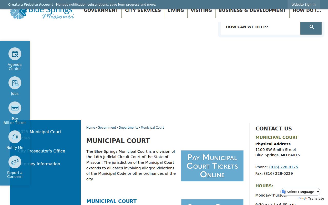
Older city matters before June 1, 2022 may follow a city ticket or court-record route, while later matters use the state court and e-filing path. Sealed, confidential, juvenile, and protected cases may not be visible.
Blue Springs Historical Resident Directories
Mid-Continent Public Library's Midwest Genealogy Center supplies the clearest verified historical directory shelf for Blue Springs. Its Phonefiche holdings at call number 40128 include 1987, 1989-1993, 1995-1997, and 2001. The 1990-1993 volumes carry a Blue Springs-Grain Valley label, while later holdings are labeled Blue Springs area. The list leaves gaps, including 1988, 1994, 1998-2000, and 2002 forward. A hit is a snapshot from a particular edition, not a continuous address history.
The MGC Quick Look index is a finding aid that can search collection title, name, and possible date across resources such as obituaries, articles, marriages, wills, cemetery material, and local histories. It is incomplete and may require an in-person visit or item request. The Blue Springs Examiner is listed on MGC microform from January 3, 1991 to July 31, 2003. Its related Examiner obituary index is about 1900-1959 and incomplete, so a source page and publication date remain essential.
The official Blue Springs history captures a useful records clue: the settlement developed near spring water, a grist mill, and the Little Blue River, then moved toward the Chicago and Alton Railroad station announced in 1878. Older records may use a township, post-office, railroad, creek, mill, tract, or later street label for the same broad community.
Read a directory, newspaper, or land record in its own geographic language, then compare it with a deed, map, parcel description, or dated municipal source before translating it to a modern address.
Note: A historic post-office or railroad label identifies a period context, not a present Blue Springs municipal boundary.
Blue Springs Archive Search Paths
When a directory or county portal reaches a gap, historical repositories supply the next channel. MGC offers local research help, maps, yearbooks, family histories, archival collections, oral histories, a Digital Gallery, and research assistance. The Jackson County Historical Society has regional photographs, streetscapes, deeds, plats, wills, yearbooks, and genealogical material; its research room requires an appointment and it recommends allowing at least a week for a request. These are historical sources, not current resident rosters.
Missouri State Archives and Digital Heritage are the state routes for permanent and historical records. The state historical death database includes death certificates from 1910 through 1975, while deaths more than 50 years old transfer to the Archives. Images and indexing vary, and the historical search does not create a certified record. For federal household context, census schedules are public through 1950 under the 72-year rule. Pair a historical name with a date, collection title, page or item number, and a place label.
Blue Springs has no verified Sanborn map edition in the research reviewed for this build. A request to MGC, a regional archive, or the Library of Congress guide is the appropriate next step, not an invented map year. The same rule applies to a missing microfilm image or a noncataloged local collection.
Blue Springs ZIP Labels Differ
A postal ZIP is not a city-limit map. Official city and state material identifies 64013, 64014, and 64015 as core Blue Springs ZIP associations. The 64014 USPS station is at 500 SW South Avenue. Other city-related material can use Grain Valley 64029 or Lee's Summit 64064 labels. City utility or service coverage is a lead, not proof that every address in a ZIP is incorporated into Blue Springs.
The city's 2008 archive includes a request to align postal designations with municipal boundaries in areas carrying 64029 and 64064 labels. It discusses 64014 east of Missouri 7 and 64015 west of Missouri 7, but it does not prove a universal postal change. The Blue Surf Bay service-area list also reaches 64057 and 64086, which is recreation-service evidence rather than a city-boundary determination.
For a Blue Springs address, use the full delivery address for a postal check, then confirm municipal status with the county GIS parcel, legal description, and city annexation or planning records. A 2026 agenda or annexation item can be searched by its project identifier, date, exhibit, and final ordinance or minutes. The Blue Springs ZIP code directory keeps the ZIP-specific boundary cautions together.
Blue Springs Custody Record Limits
Custody and registry tools have narrow scopes. The Jackson County Detention Center search is a current selected-occupant route, not an arrest record, court record, or full jail-history database. Jackson County says the Regional Correctional Center's municipal matters are excluded. The Missouri Department of Corrections active offender tool covers active incarcerated and supervised people, including probation or parole, but does not supply discharged records. Its status is time-sensitive, and safety, security, or confidentiality rules can withhold fields.
Missouri's active offender search is the official status route for the limited active-offender scope.
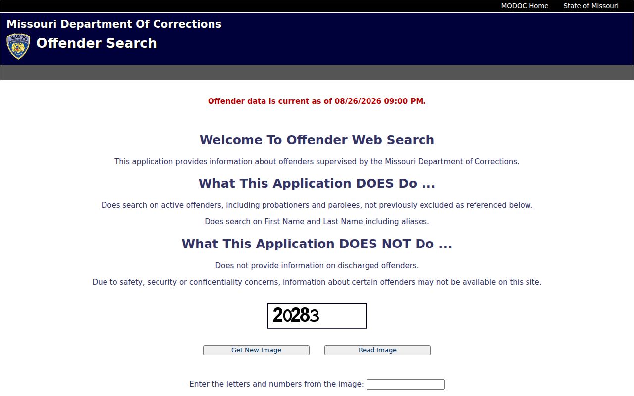
Record the date shown by the source and confirm any court outcome through the court custodian. A no-result can mean the source does not cover the historical period or current status at issue.
The Missouri State Highway Patrol registry search offers name, date-of-birth, tier, address, city, county, ZIP, and map-distance criteria. It requires at least one criterion and describes a statutory registry, not a full criminal-history search or risk assessment.
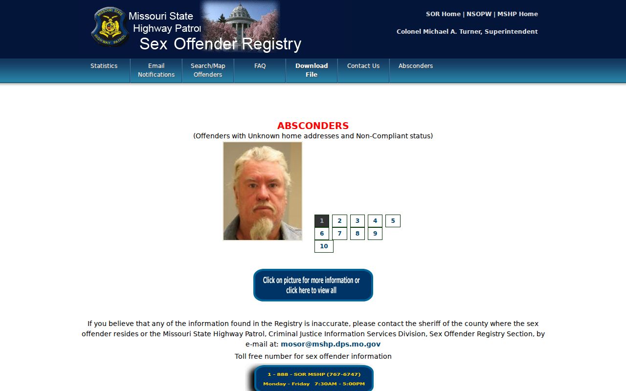
Registry information can change and carries agency accuracy and safety warnings. Do not use a custody or registry result to infer guilt, current residence, or an unverified identity match.
Note: Save the source's displayed status date because custody and registry information can change after a search is performed.
Blue Springs Protected Address Rules
Some absent records are working as designed. Missouri Safe at Home gives eligible participants a substitute address and mail-forwarding arrangement that government agencies and courts accept for new records. The voter process uses a code so local authorities do not receive the confidential location. Certain voter addresses, sealed or confidential court material, juvenile records, protected public-safety addresses, and restricted vital records have separate legal safeguards.
A public-record request should not seek to reverse a substitute address or expose a protected location. Birth and death certified copies require direct and tangible interest under RSMo 193.255 and the related Missouri regulations. Marriage certificates are handled through the Recorder, while divorce decrees come from the granting circuit clerk. Keep a records request focused on a public series, date range, and lawful purpose, and let the custodian identify closed material.
Use records lawfully. Blue Springs records can support family history, estate work, civic research, and personal safety questions. Do not use names, addresses, or record links to stalk, harass, or harm anyone.
Blue Springs Research Recordkeeping
Good research preserves the source trail instead of building a profile from fragments. For each Blue Springs result, record the official office, URL, search mode, date checked, name spelling, address or legal description, result identifier, and the source's stated limitation. Note whether a person is listed as owner, party, officer, voter, historical household member, or current occupant. That role and date are often more important than a matching name.
Dynamic systems change. The Recorder says online material is uneven; city records before 2015 need a different request route; MGC indexes are incomplete; property systems can be under maintenance; and court or custody status can change after a search. A missing online result is not proof that a record never existed. The next practical move is a targeted office request naming the likely series, date range, place, and person or address, then a library, microfilm, archive, or records-office visit if the custodian points there.
Note: Mark an unverified date, missing page image, or unlocated series as a research gap rather than filling it with a conclusion.